Picarta
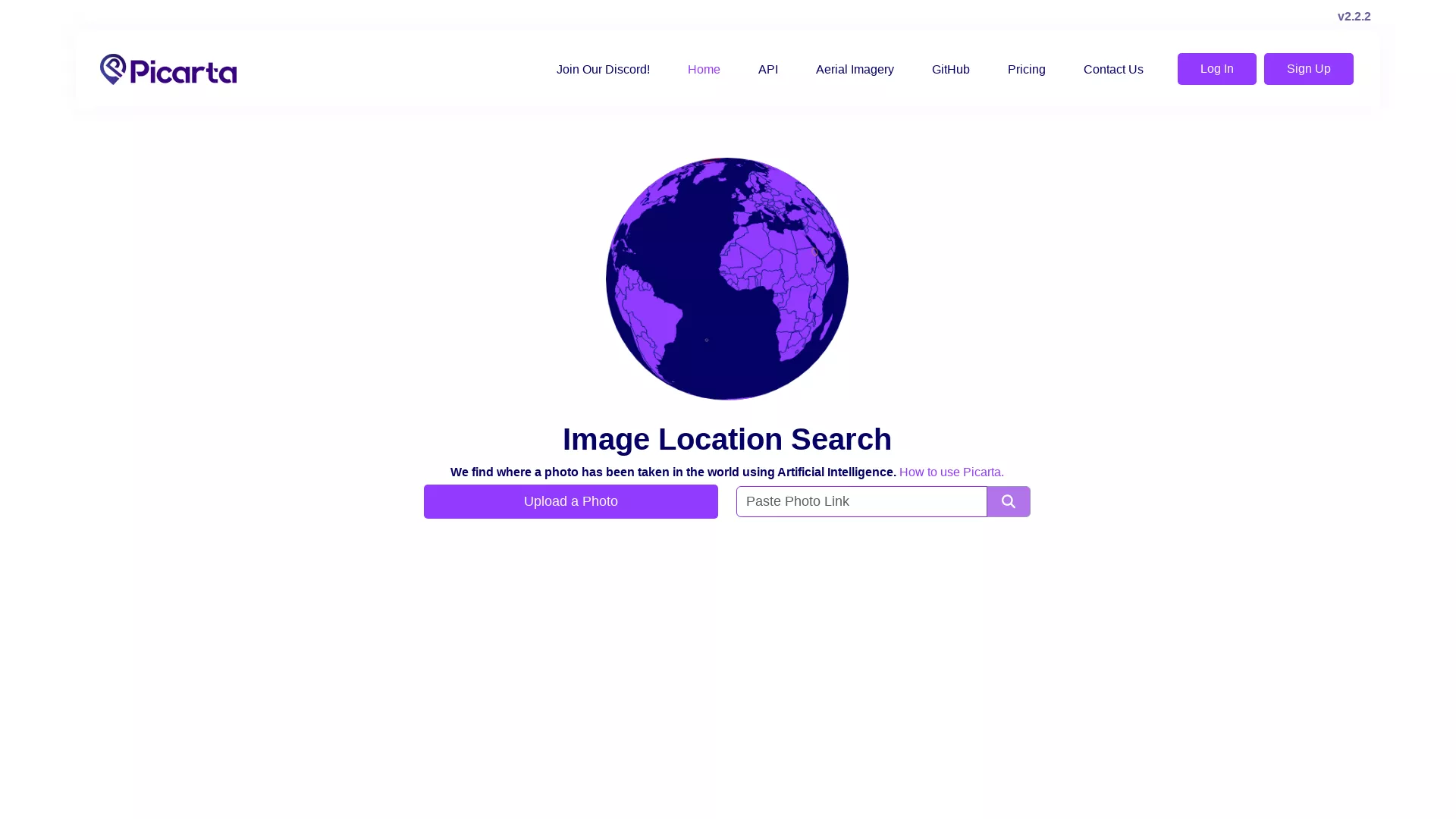
AI Photo Location Finder
Picarta identifies where photos were taken, helping verify authenticity, support investigations, and find locations.
What does Picarta do?
How Does Picarta's Image Location Search Work?
Picarta uses Artificial Intelligence to geolocate images by analyzing the visual content of a photo. Upon uploading a photo, Picarta's AI system processes the image to identify landmarks, geographical features, and other visual cues that help determine the photo's location. It then provides estimated GPS coordinates of where the photo was likely taken.
What Features Does Picarta Offer Apart from Image Location Search?
In addition to image location search, Picarta offers Image to GPS and Image EXIF Data tools. The platform also provides access to aerial imagery to support more comprehensive mapping and location verification tasks. These features, combined with an API offering and various pricing plans, make it a versatile tool for businesses and individuals alike.
How Can I Access the Picarta API and Pricing?
Picarta offers an API with pricing plans. Details are available on the Pricing and API pages for integration options and plan information.
What Imagery Resources Does Picarta Provide?
Picarta provides access to aerial imagery to support mapping and location verification tasks.
How Do I Upload a Photo for Location Search?
Use the Upload a Photo option to start a location search.
Is There Community Support Available for Picarta Users?
Yes. Picarta offers community support via Discord, where users can interact, share experiences, and seek help. Additionally, you can follow Picarta on social platforms like X, TikTok, Instagram, and YouTube for updates and community engagement.
How Can I Contact Picarta for Support or Inquiries?
You can reach Picarta at info@picarta.ai or via the Contact Us page.