
AstroCarto
Lifestyle AI Tools
AstroCarto generates an interactive astrocartography map from your birth details so you can explore planetary lines, check cities, and create evidence-based reports.
- Pricing
- Free
- Category
- Lifestyle
- Listed
- Aug 26, 2026
- Updated
- Aug 27, 2026
Promoted
 Sidrune AI85% off. Stable Claude API for agent developers. Pay as you go. Invoices & refunds available.
 Pixmax.aiPixmax.ai is an all-in-one AI workspace for videos, visual stories, and marketing content.
 RewindType any X/Twitter handle. Get their year back as a narrated video story. Then ask it anything.
 KurodyneSell the tools from your AI side projects. Listing is free.
 SEOify - Improve your SEO & rankingsBuild links to rank in Google. Improve your DR with links you can start building now.Advertise here270,000+ people visit Dang.ai every month.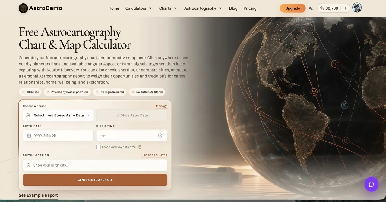
What does AstroCarto do?
AstroCarto turns your birth date, time, and location into a personalized astrocartography chart and interactive world map. Explore where planetary lines (including ASC/MC and DSC/IC) fall across real places—then click anywhere to see a combined reading of nearby planetary lines plus available Angular Aspect or Paran signals.
Use city tools to go from map browsing to decision support: check a specific city for nearest line context (distance, strength, planet-angle signals), shortlist places by life goal (career, relationships, home, wellbeing, or exploration), and compare multiple cities side by side to weigh trade-offs.
When you want a deeper, saved deliverable, generate a Personal Astrocartography Report that compiles priority places, life-theme verdicts, caution signals, next checks, and an interactive evidence map with a downloadable PDF. You can also use AI for follow-up interpretation based on the completed report evidence—without generic guessing.
FAQ essentials: report rankings and verdict levels come from calculated evidence first; AI is used to explain context and support interpretation. Real-world practical factors still matter, and AstroCarto doesn’t decide where you should move for you.
What does AstroCarto generate for me?
You generate an astrocartography chart and an interactive world map based on your birth date, birth time, and birth location (plus timezone). You can then click on the map for a combined nearby reading and use city tools to explore specific places.
Is the astrocartography chart free?
Yes. You can generate the core astrocartography chart and map without signing up and explore free access features. Paid access is needed for additional location readings, personal reports, downloads, AI follow-up, and full comparison reports.
Can I check a city after I generate my map?
Yes. Use the Check City tool to review a city’s nearest planetary lines, approximate distance, strength, and planet-angle context. You can also click anywhere on the map for a quick combined location reading.
How does AstroCarto handle “distance to a line” for a city?
Line distance is treated as context rather than certainty. AstroCarto also considers planetary/angle context, major aspects, Parans, and birth-time sensitivity when generating evidence and reports.
What does AI use when I ask about a city or report?
AI can receive calculated map and report evidence—such as city line placement, approximate distance, strength, support signals, and caution signals. The system explains those signals rather than inventing evidence or changing rankings.
Does AstroCarto choose where I should move for me?
No. AstroCarto provides evidence-based interpretation support and shortlists or compares places so you can decide what to research and weigh with practical factors.
This listing is claimed
Own AstroCarto? Sign in with the email used to claim it to manage this listing, or upgrade to Pro for featured-first placement and a newsletter feature.